Marshall County is a county in the U.S. state of South Dakota. As of the 2020 census, the population was 4,306. Its county seat is Britton. The county was created on May 2, 1885, and was named for Marshall Vincent, who homesteaded near Andover, South Dakota.
Geography
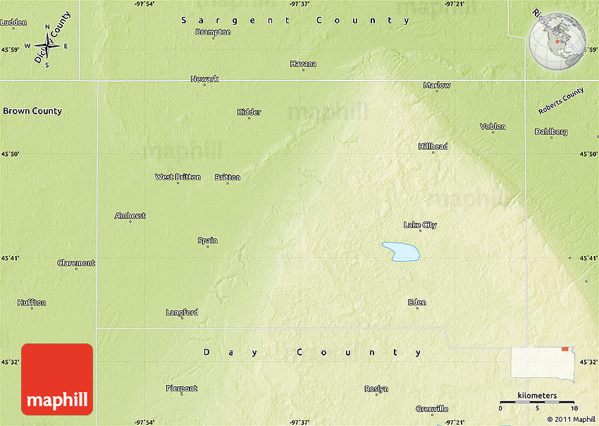
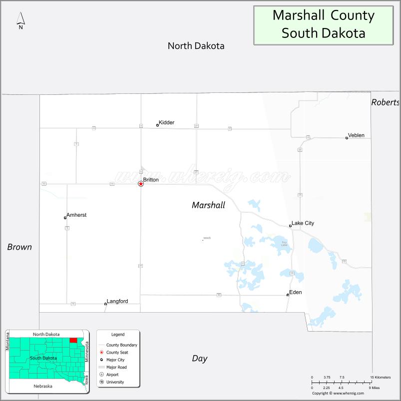
Marshall County lies on the north side of South Dakota. Its north boundary line abuts the south boundary line of the state of North Dakota. Its terrain consists of rolling hills, with numerous lakes and ponds in the SE portion. Its terrain slopes to the northeast, and its highest point is near its SE corner, at 2,034 ft (620 m) ASL.
Marshall County has a total area of 886 square miles (2,290 km2), of which 838 square miles (2,170 km2) is land and 48 square miles (120 km2) (5.4%) is water. The county is drained by the Crow Creek, a tributary of the James River, and the Wild Rice River, a tributary of the Red River of the North. A portion of the Lake Traverse Indian Reservation is located in the eastern part of the county.
Major highways
- South Dakota Highway 10
- South Dakota Highway 25
- South Dakota Highway 27
Protected areas
- Abraham State Game Production Area
- Aspen Slough State Game Production Area
- Black Slough State Game Production Area
- Bonham State Game Production Area
- Buffalo Lakes State Game Production Area
- Bullhead State Lakeside Use Area
- Cattail State Game Production Area
- Church State Game Production Area
- Clear Lake State Game Production Area
- Clear Lake State Lakeside Use Area
- Douglas State Game Production Area
- Eden State Game Production Area
- Flat Creek State Game Production Area
- Fort Sisseton Historic State Park
- Fort Sisseton State Game Production Area
- Four Mile-Clubhouse-Barretts State Game Production Area
- Four Mile State Lakeside Use Area
- Hamilton Township State Game Production Area
- Hickman Dam State Game Production Area
- Horeshoe State Game Production Area
- Ivory Tower State Game Production Area
- Knebel State Game Production Area (part)
- Little Cottonwood State Game Production Area
- Lost Lake State Game Production Area
- Nine Mile State Game Production Area
- North Church State Game Production Area
- North Ottertail State Game Production Area
- North Red Iron State Game Production Area
- Renziehausen State Game Production Area (part)
- Rock Crandall State Game Production Area
- Roy Lake State Game Production Area
- Roy Lake State Park
- Schlosser Memorial State Game Production Area
- Sica Hollow State Park (part)
- Sorbell State Game Production Area
- South Red Iron State Game Production Area
- Turtlefoot State Game Production Area
- White Lake State Game Production Area
Adjacent counties
Demographics
2020 census
As of the 2020 census, there were 4,306 people, 1,702 households, and 1,131 families residing in the county. The population density was 5.1 inhabitants per square mile (2.0/km2). There were 2,394 housing units.
2010 census
As of the 2010 census, there were 4,656 people, 1,815 households, and 1,154 families in the county. The population density was 5.6 inhabitants per square mile (2.2/km2). There were 2,534 housing units at an average density of 3.0 units per square mile (1.2 units/km2). The racial makeup of the county was 85.4% white, 7.6% American Indian, 0.2% black or African American, 0.2% Asian, 5.6% from other races, and 1.1% from two or more races. Those of Hispanic or Latino origin made up 6.8% of the population. In terms of ancestry, 45.6% were German, 30.6% were Norwegian, 6.8% were Swedish, 5.8% were Irish, 5.2% were English, and 2.7% were American.
Of the 1,815 households, 24.4% had children under the age of 18 living with them, 52.8% were married couples living together, 6.0% had a female householder with no husband present, 36.4% were non-families, and 31.4% of all households were made up of individuals. The average household size was 2.36 and the average family size was 2.83. The median age was 43.2 years.
The median income for a household in the county was $41,023 and the median income for a family was $56,544. Males had a median income of $31,639 versus $26,737 for females. The per capita income for the county was $22,441. About 9.3% of families and 17.1% of the population were below the poverty line, including 27.6% of those under age 18 and 12.8% of those age 65 or over.
Communities
Cities
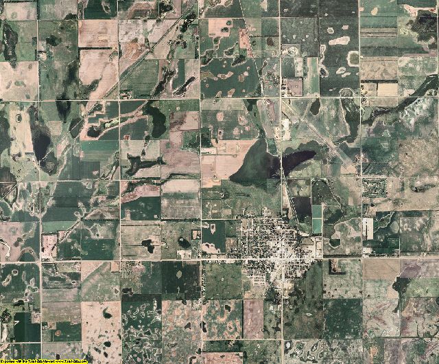
- Britton (county seat)
- Veblen
Towns
- Eden
- Lake City
- Langford
Census-designated place
- Clear Lake
- Kidder
- Newport Colony
- Sunset Colony
- Westwood Colony
Unincorporated communities
Townships
Politics
Marshall County voters have tended to vote Democratic for the past several decades. In 64% of the national elections since 1960, the county selected the Democratic Party candidate.
See also
- National Register of Historic Places listings in Marshall County, South Dakota
External links
- Marshall County, South Dakota (Official site)
References